


Metar-Taf is a comprehensive weather application designed specifically for aviation enthusiasts and professionals. This app provides visualized METAR and TAF weather information for airports worldwide, offering users an easy-to-understand, colorful interface with concise summaries of essential aviation weather data. Key features include crosswind calculations, flight rule categorization (VFR, MVFR, IFR, LIFR), and text-to-speech functionality for decoded METAR reports.
In addition to current weather conditions, Metar-Taf offers detailed forecasting through its TAF breakdown displayed hourly in table format. Users can track favorite stations, access observations near their location, and search airports by ICAO code or name. The app also includes historical weather trend graphs, customizable units for various measurements, and automatic data saving for offline use. These robust features make Metar-Taf an invaluable tool for pilots, dispatchers, and aviation meteorologists.
Metar-Taf stands out with its extensive feature set tailored for aviation weather analysis. The app's METAR visualization presents complex weather data through intuitive color metrics and standardized weather symbols, making it accessible even to non-aviation professionals. Its unique crosswind calculation combines METAR data with runway information, providing crucial safety information for flight operations.
The application's TAF breakdown goes beyond simple forecasts by presenting data in hourly intervals alongside sunrise/sunset times and temperature extremes. The comprehensive airport information section includes runway directions, elevation, and location details, while the calculation engine supports multiple unit conversions and local time adjustments. With its interactive map, offline functionality, and multilingual support (English, Dutch, Spanish, Portuguese, German, French), Metar-Taf delivers a complete solution for aviation weather needs.
Accurate weather forecasting is crucial for aviation safety and planning. Metar-Taf provides visualized METAR and TAF data, ensuring pilots have reliable information about current and forecasted conditions at airports worldwide.
The app breaks down complex meteorological data into easy-to-understand metrics with colorful visuals. It includes detailed weather symbols for significant phenomena, enhancing comprehension of aviation-specific weather patterns.
By combining real-time METAR reports with airport information, the app calculates crosswind components, visibility, and flight rule categories. This ensures users can make informed decisions based on credible data tailored to their specific location and needs.
Understanding weather trends over time and across locations is essential for effective flight planning. Metar-Taf offers comprehensive temporal and spatial coverage by presenting TAF forecasts in an hourly breakdown table.
The application tracks sunrise and sunset times, minimum and maximum temperatures, and other critical parameters for each airport. By calculating these values based on latitude and longitude, it provides precise local timing adjustments.
Users benefit from historical graphs showing weather trends from today and yesterday, including temperature, visibility, wind speed, and QNH variations. With this extensive range of data available both online and offline, pilots can plan flights confidently with full situational awareness.
User-friendly interface
Comprehensive weather data
Offline functionality
Multilingual support
Customizable units
Premium features locked
Occasional data delays
Complex for beginners
Limited free usage
Heavy on storage

Personal Weather Station PRO - Meteo monitor to check your WU info and charts.
 4.20
4.20
The most accurate weather app, hourly and daily weather, severe weather alerts
4.50
Live weather forecast for your everyday life
4.60
Most precise & accurate compass app give true North South East West directions.
3.00
Weather forecast & live radar map
4.20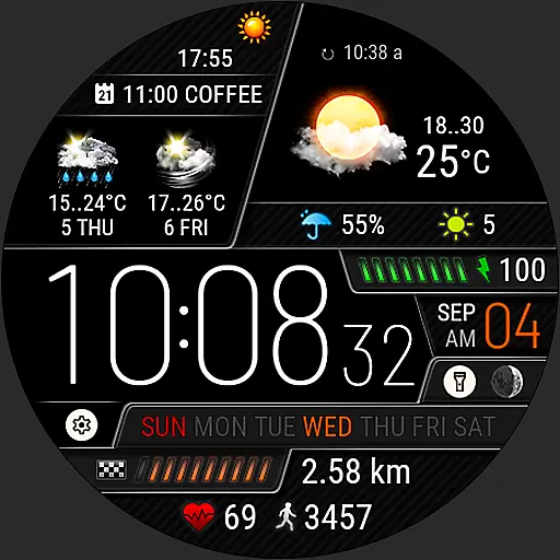
Weather watch face for Wear OS 5+
4.40
Weather watch face for Wear OS 5
4.40
Advanced weather toolkit, providing detailed weather information for any season!
3.50
Hyperlocal Forecasts, Live Radar, Severe Weather alerts & Homescreen Widgets
4.30
Accurate weather forecast, daily weather changes are easy to grasp
4.90
Ultimate Lunar Calendar for 2021!
4.80
Road weather, live radar, wind, snow, and conditions along your driving route.
4.70
Your ultimate app for real-time weather information!
4.70
Get accurate rainfall and snowfall totals for pinpoint locations on a map.
4.60
Accurate Local Weather Forecast, let you easily understand the nearby weather!
4.20
Check forecasts, watch live news & track storms with FOX Weather.
3.80
Quickly check the Hanalei river gauge height during heavy rains on Kaua'i.
4.3
Detailed weather info and moon phase, subtle animation, customizable
4.3
Digital Weather Watch Face for Wear OS 5+
4.2

User Reviews